


From October 25 to 31, the International Advanced Training Course on Ocean Color Remote Sensing jointly held by the International Ocean Color Coordinating Group(IOCCG), the European Copernicus Program and the European Organization for the Exploitation of Meteorological Satellites (EUMETSAT), the State Key Laboratory of Satellite Ocean Environment Dynamics (SOED), etc. was set up in China for the first time and was carried out in our Institute. 20 trainees from seven countries including China, Bangladesh, Egypt, South Korea, Thailand, India and Indonesia participated in the training.
Researcher Liu Jianqiang, Deputy Director of the National Satellite Ocean Application Service, introduced China’s ocean color remote sensing satellite programs and progress; Dr. Lauren Biermann and Oliver Clements of the EUMETSAT successively introduced the ocean remote sensing data of European Copernicus Program and EUMETSAT; Researcher Li Guoqing, Director of the National Earth Observation Science Data Center, introduced China’s actions for data sharing by the Group on Earth Observations (GEO).
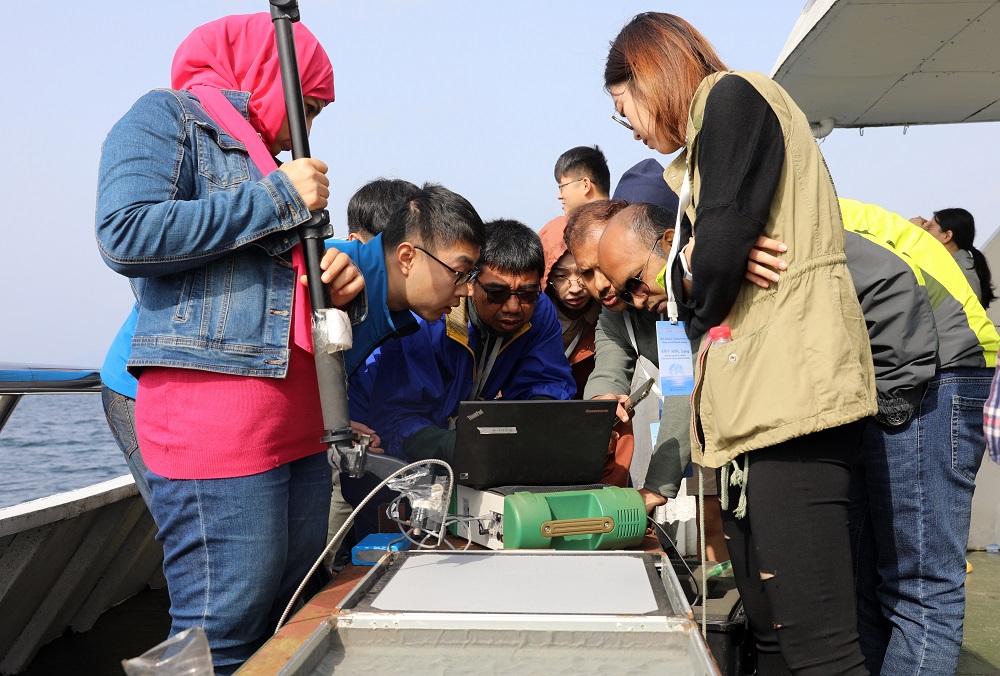
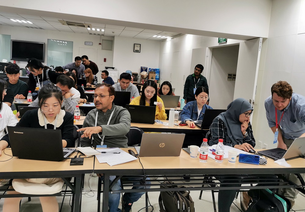
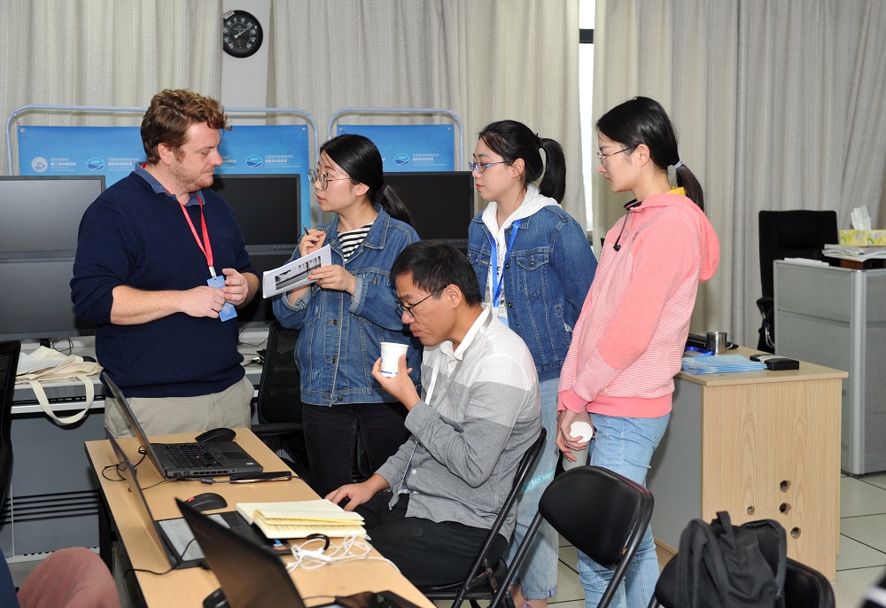
During the one-week training, trainees learned how to use ocean color remote sensing products, including downloading, analyzing, visualizing and quality assessment of satellite data from the European Copernicus Program and China’s ocean color satellite data, and using the online analysis platform for ocean satellite data (SatCO2) for applied research on offshore water quality, red tide, marine carbon cycle and climate change. In addition, the trainees also went to the Thousand-island Lake for practical operation training of the portable ground imaging spectrometer.
The IOCCG training course was held for the first time in Olmue, Chile in 1997, and this is the first time that it has been held in China. This training has provided technical training and data support for developing countries in Asia, established a mutually beneficial channel for scientific and technological exchanges between China and other developing Asian countries in the field of marine environmental monitoring, and gradually promoted the global accuracy inspection of China’s autonomous ocean remote sensing satellite products. Furthermore, it helps expand the application types for the development of remote sensing products in the sea areas along the “One Belt and One Road”, and improve the reliability and accuracy of data products.